County Profile
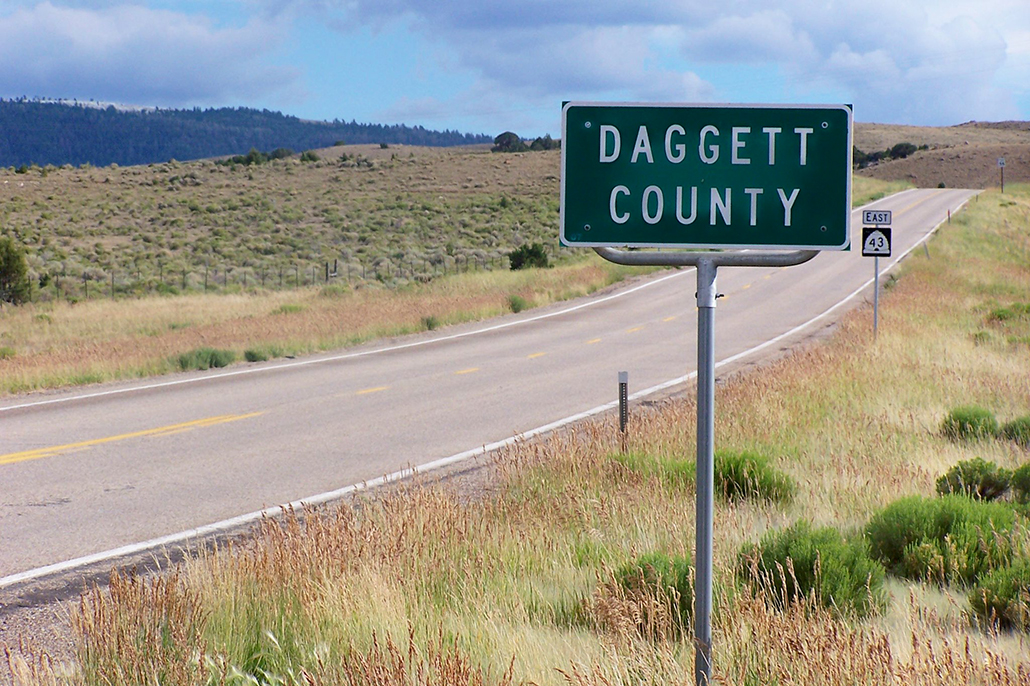
Daggett County
Information
Founded
1918
Origin of Name
Ellworth Daggett, the first Utah Surveyor General, who helped developed irrigation for the county.
Location
Northeastern corner of the state
County Size
The size of Daggett County is 697 square miles.
Current Population
The current population of Daggett County as of 2024 is 956
U.S. Census Bureau, Population Estimates Program
County Website
Bordering Counties
Cities & Towns
County History
A Brief History of Daggett County
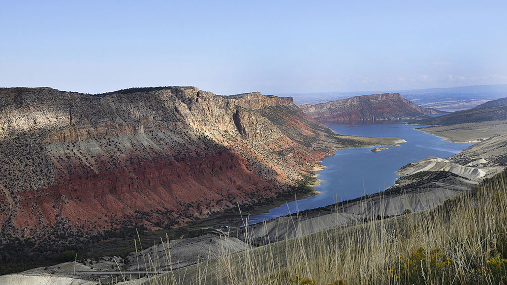
Daggett County is located on the north slope of the Uinta Mountains, an east-west running range some 150 miles long and 30 miles wide that has been dramatically carved by glaciers. The Uintas contain the highest peaks in the state. Leidy Peak at 12,028 feet is the highest peak in the county. The Uintas are the source of much of the water for the Green River which cuts through them at the east end of the range. The county is bordered on the north by Wyoming, on the east by Colorado.
Rich with trees, water, and wildlife, Clay Basin and Brown’s Hole along the Green River in northeast Daggett served as a winter refuge for both migratory animals and prehistoric Indian groups. The first known white men to visit the county were fur trappers who, in the 1820s, came to the mountains trapping for beaver. Perhaps the most famous of these was General William Henry Ashley. In 1825, after organizing a fur company in St. Louis, he traveled to the Green River country to see for himself the land of the beaver and other wildlife. That same year he floated down the Green into the Uinta Basin and then traveled by horse and foot through Summit County back to southern Wyoming where the first rendezvous was held.
Other trappers and traders soon followed in the footsteps of Ashley. In 1837 Fort Davey Crockett was built at Brown’s Hole by Philip Thompson and William Craig. The fort supplied goods to the trappers of the area. A German traveler named Wislezenus described Fort Crockett as being “somewhat poverty-stricken for which reason it is also known to the trappers by the name of Fort Misery.”
In 1869 and 1871 John Wesley Powell, a famous explorer, visited parts of Daggett County. Starting at Green River, Wyoming, Powell floated down the Green and Colorado rivers, studying the geology and geography, animal and plant life, and the Indians of the area.
About this same time it was rumored that the Uinta Mountains were full of diamonds. Important and wealthy people in America and Europe invested in the claims, hoping to make a lot of money. They soon found out that the discovery of diamonds in the Uintas was a hoax.
Daggett County was used for the summer grazing of sheep and cattle trailed in from parts of northern Utah and southwestern Wyoming until the introduction of irrigation in the l890s by Adolph Jessen, Ellsworth Daggett, R. C. Chambers, and others made it possible for farmers and their families to live there. The first permanent settlers included the James Warby and Franklin Twitchell families.
In 1917 the state legislature created Daggett County out of the northern part of Uintah County, and Manila was named the county seat. Daggett was the last of the state’s counties to be organized.
Daggett County’s economy is based primarily on the raising of livestock, hay, and alfalfa, but it is also an important producer of electric power for Utah and surrounding states. A new town, Dutch John, was built in 1957 near Flaming Gorge to provide a living place for people who work at the dam. Flaming Gorge Reservoir is a popular place for boating and fishing.
Utah Historical Society. (1988). Beehive History 14: Utah Counties. Utah Historical Society. Reprinted with permission.